
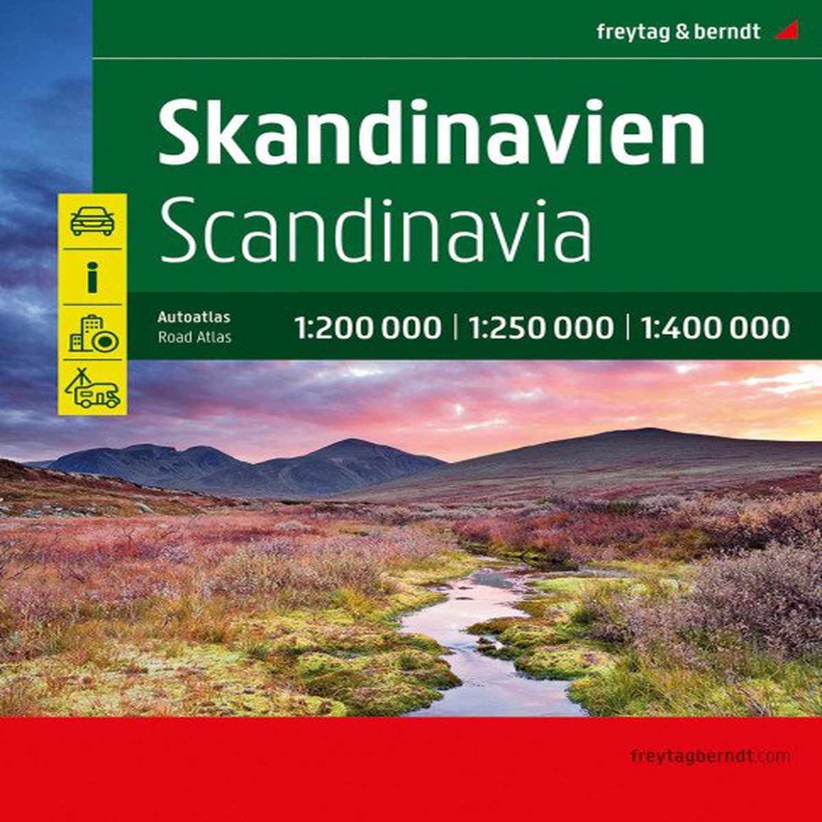
Skandinvie 1:200 000 – 1:400 000 / autoatlas (2026)
- Category: Books
- Product Code: CUYF29926999
- Availability: In Stock
- $38.95 $77.90
This Scandinavian road atlas is designed for motorists exploring the far north, including areas beyond the main highways. Detailed maps and precise scales make it easier to discover less-frequented secondary roads, with scenic routes highlighted in color. Denmark is shown at a scale of 1:200,000, southern Norway and southern Sweden at 1:250,000, and northern Norway, northern Sweden and Finland at 1:400,000. The atlas includes tourist information, a local postcode directory, campsites and parking areas, and 14 city-center maps, including Bergen, Gothenburg, Helsinki, Copenhagen, Malm and Oslo. Its concealed spiral binding allows it to open easily and keeps the selected page open, while the detailed road network, marked destinations and highlighted tourist routes support trip planning and navigation. It is also suitable for planning journeys with motorhomes, caravans or camper vans.
There are no reviews yet.
Related Products

AK 0525 Gran Canaria 1:50 000 / automapa
$19.92 $24.90

Dark Visions King Stephen (2000)
$22.32 $27.90


Student Record Book for 5th Grade
$4.72 $5.90